![]()
SuDS-related links
Keeping ahead
with SuDS
Attend SuDS training to keep ahead of the competition and to deliver innovative solutions in line with recognised good practice.
home > using SuDS > case studies > Moor Park
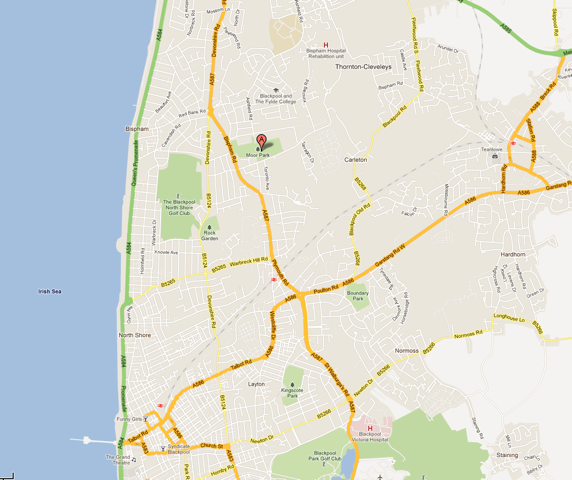
Junction of Bispham Road and Bristol Avenue, north of Blackpool town centre, Lancashire, next to the former TVR car factory.
 |
|---|
Fig 1: Location of Moor Park (click on image to enlarge) |
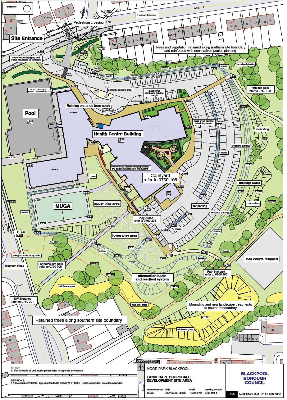
The Moor Park development is a large healthcare building, incorporating leisure and library uses as well as new play areas and a multi-use games area. It is set in the north west corner of an existing park, Moor Park, in the residential neighbourhood of Bispham. The building is served by a large (200 space) car parking area. It lies at roughly 10mAOD and is broadly flat, falling to the south.
The development site is around 3.4ha, including the surrounding earthworks and ‘soft’ play areas. Surface water drainage is to a combined sewer running underneath the site (pre-existing drainage). Soils are mixed, but incorporate a high proportion of sands.
 |
|---|
Fig 2:Moor Park Masterplan (click on image to enlarge) |
From the very early stages of the project, the proposed location of such a large development in a designated green space demanded a high level of sensitivity and a ‘landscape led’ approach. This is reflected in the form and arrangement of buildings and spaces. The concept of a SuDS ‘treatment train’ to deal with stormwater was developed between the client and the design team. The building location was adjusted to enable an innovative and almost totally above-ground solution. Car parks and swale system were designed together, to form a series of arcs, centred on the building. Very little underground drainage is used, with kerbs omitted and rainwater pipes discharging directly into swales. The Environment Agency requested the use of SuDS.
|
|
Fig 3:Building layout (click on image to enlarge) |
Most water is taken from the building roof and hard areas above ground into concentric rings of swales, which carry it around the east and south of the development to a large attenuation basin. The basin and swales contain an extensive area for ‘natural play’, within which are a series of designated play spaces for different ages of children.
A second bio-swale system to the western side envelopes the Multi Use Games Area (MUGA) and brings water into the attenuation basin. The total surface water areas drained from car parking areas and the new building is 1.14ha.
The bio-swales are very shallow and have been carefully graded to ‘fit’ into the new landscape and enable mowing. Longitudinal sections were adjusted in fine detail on site to enable wetter areas to ‘pond’ water and allow intermediate development of taller marginal species. It is envisaged that much of the time the basins and swales would not hold standing water.
Basins and swales contain ‘two stage’ treatment with separation by both gabion baskets and earth forms to increase water residence times. Rocks, excavated from the site, are re-used to improve the ‘natural’ appeal of the system.
Swales are approximately 595m in total with connecting linear drainage keeping surface water just below the surface level.
 |
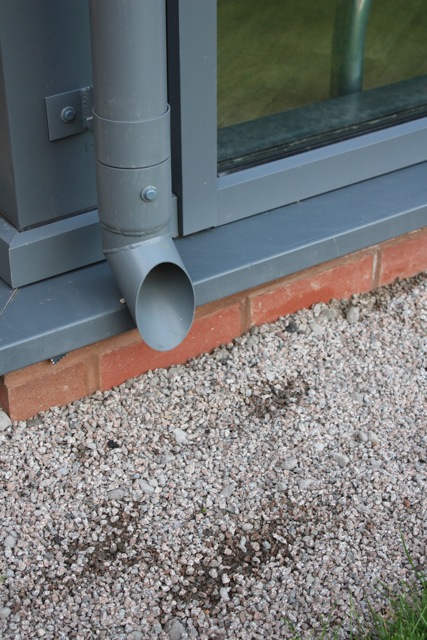 |
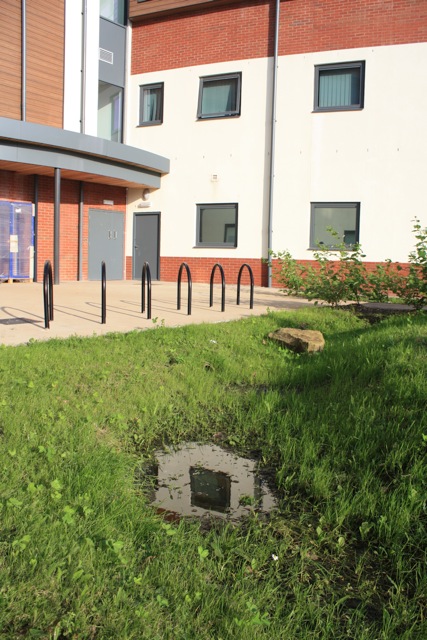
Fig 4:Courtyard with SuD |
Fig 5: Disconnected downpipe |
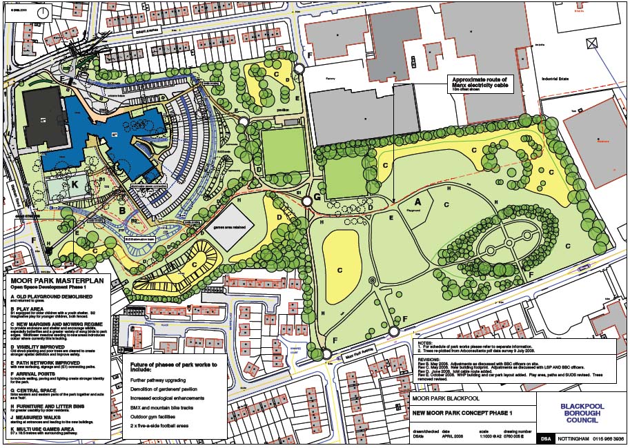
Moor Park was formerly a rubbish tip, used as a public park since around 1950. Surveys revealed that its overall biodiversity was low, relative to other sites in the area and no wetland was present.
Soils on site are very mixed and have evidently been heavily re-worked. Made ground was found between 1.9-3.6m in depth. Underlying the made ground the natural strata was found to be peaty clay to a depth of between 3.8-5.7m below ground level. Below the peaty clay the natural strata was found to be boulder clay.
The scheme was designed to meet a 1in 100 year plus 20% for climate change return period storm. The discharge rate from the pond into the existing combined sewer is 74.5 litres per second. The pond will store a volume of 276 m³ of water in the 100 year plus 20% storm at a maximum depth of 622mm.
Water exits the site via a 225mm diameter pipe which connects to the existing 600mm diameter combined sewer crossing the site. Gabions have been constructed with ‘invisble’ pipes to improve aesthetic appearance and safety.
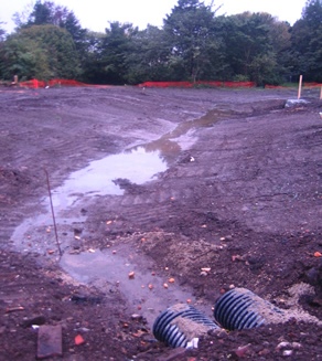
Planting was modified to cope with actual conditions on the ground. It was observed that ponding occurred, due to considerable variations in soil structure, in places along the system that could not be anticipated at design stage.
A novel feature of the scheme has been the engagement of the local community in the project. The opportunity was presented to show children at two of the local schools what was happening and to work with them in the design of some of the art features, signage and play areas. This enabled the idea of ‘SuDS’ as a learning and teaching resource to be explained.
 |
| Fig 6:Low tide swale |
Team:
Client: LSP Developments, Ashby de la Zouch. Ian Tuddenham. Blackpool Council. John Blackledge.
Landscape Architect: DSA Environment + Design, Nottingham. David Singleton
Engineer: BSP, Derby. Phill Brown, Carol Ell.
Architect: West Hart Partnership, Tamworth. Jim Hart, Justin Jones, Jake Alexander.
Contractor: Pochin Construction, Middlewich. Terry Hazlehurst, Mark Rowbottom.
|
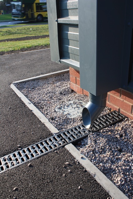 |
Fig 7:Sports hall channel |
The following chanlenges were overcome during the project:
Reassurance provided by carrying out visits to previously installed SuDS schemes including Blythe Valley Park and seeing these work well.
|
 |
|---|---|
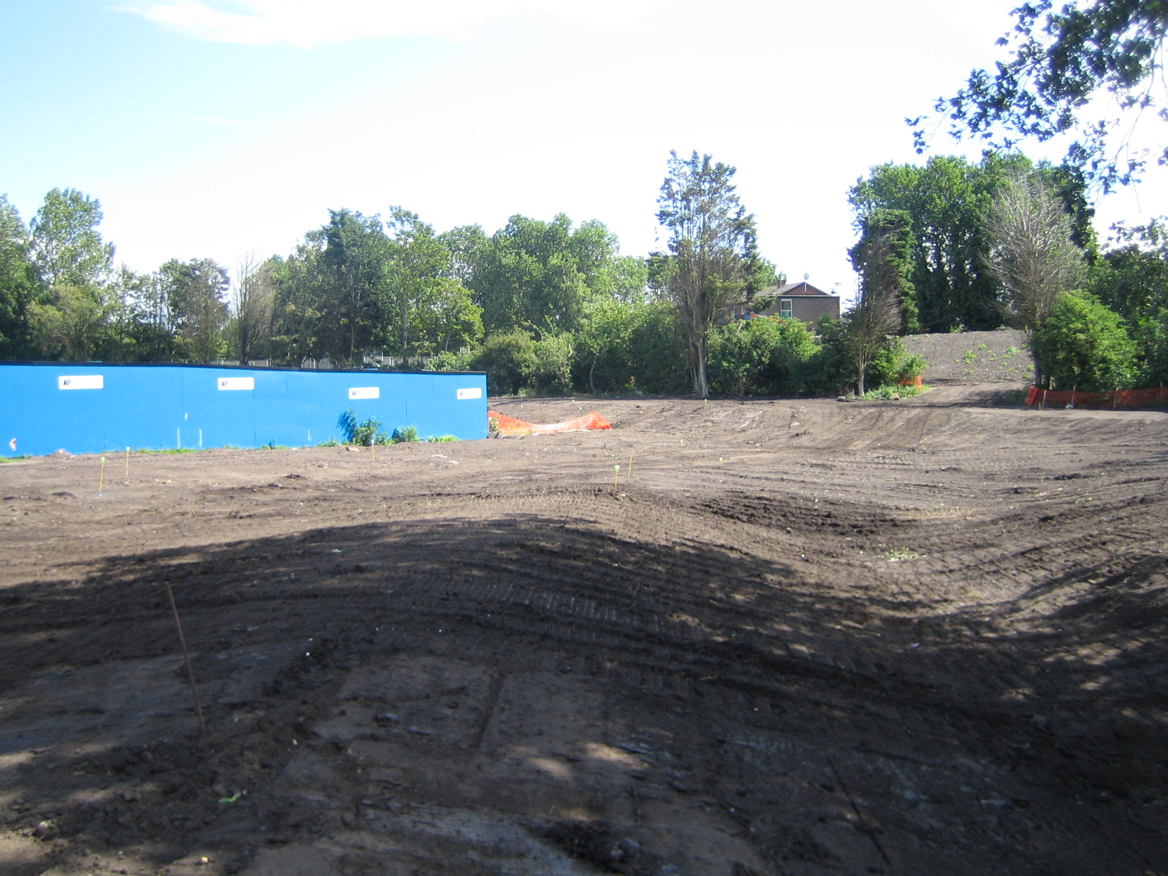
Fig 8: A-Basin north under construction |
Fig 9: Swale 1 |
Support from Blackpool Council Planning, Parks and Urban Design officers.
Support from Environment Agency.
Officer contact: Planning Case Officer. Blackpool Council Mark Shaw, Ian Ward
Funder: Assura Properties
Developer: LSP Developments/Blackpool Council
Engineer: BSP Consulting, Derby
Landscape Architect: DSA Environment + Design, Nottingham
Architect: West Hart Partnership, Tamworth
Main Contractor: Pochin Construction, Middlewich