![]()
SuDS-related links
Keeping ahead
with SuDS
Attend SuDS training to keep ahead of the competition and to deliver innovative solutions in line with recognised good practice.
home > using SuDS > case studies > Castle rock
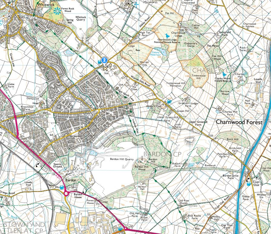
Meadow Lane, north of Coalville, Leicestershire.
 |
|---|
Fig 1: Location of Castle Rock School |
Castle Rock High School is a new-build school catering for students aged 10-14 (years 6-9) from the Coalville and Whitwick areas. It lies to the southern side of the King Edward VII school campus, close to the site of the former Castle Rock School which was built in the 1950’s. The building is served by car parking for staff and parents and a large bus-turning area, with a number of smaller ancillary buildings for storage and plant.
The site lies at roughly 170mAOD on steeply sloping site, with playing fields to the east and south. The development site area drained is around 3ha. Surface water drainage is to the south to a stream that then drains west, to form a tributary of the River Soar. Building was completed in late 2005.
.JPG) |
|---|
Fig 2:Aerial shot of Castle Rock School |
The concept of a SuDS ‘management train’ was established as a principle early in the design process. The external works, including much work on slopes and levels, which were designed to maximise ‘above ground’ drainage and to incorporate innovative features useable for teaching and learning. Where underground drainage was employed, proprietary products to clean surface water, such as a small amount of permeable paving and ‘d-drain’ aggregate-filled trenches were used. It was considered that, being a school site, with a great many students close to the building envelope, that rainwater downpipes had to be taken underground initially rather than discharged directly into swales. |
 |
Fig 3:Entrance, permeable paving |
Two systems (western and eastern) carry water from hard surfaces and the building roof to a dry detention basin.
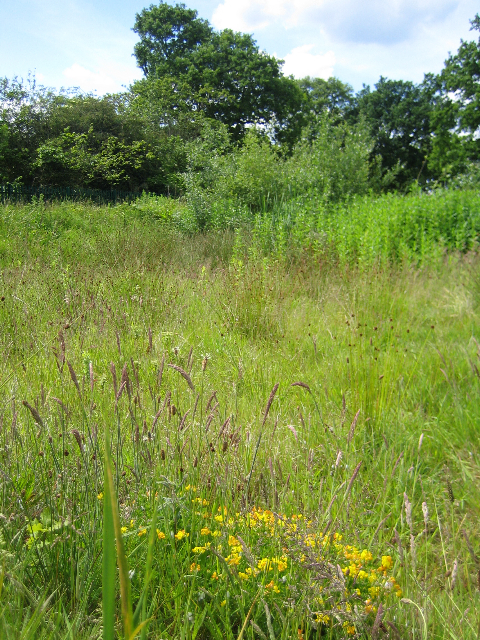
The main swale is shallow and has carefully graded side slopes to enable mowing and to ‘fit’ into the contours of the site. A number of sale crossings were designed to allow access to the playing fields beyond the swales for grass cutting and also for student access.
|
 |
|---|---|
Fig 4: Detention basin |
Fig 5: Swale |
Soils on site are predominantly clay, they were heavily re-worked during construction and permeability of the ground is therefore very low. Rainfall on site, being just below the crest of the Charnwood Forest, is relatively high.
The scheme was designed to attenuate the 1 in 30 year return period Critical Duration Event. The hydraulic model was also tested to ensure that there would be no flooding off site for the 1 in 100 year plus climate change Critical Duration Event.
An oil separator was not required to prevent pollution. Instead water quality improvements were achieved throughout the treatment train, within swales, grassed areas and in the dry basin. The treatment train does not require power and is not susceptible to mechanical failure.
A small colony of great crested newts was present close to the site. It is hoped that terrestrial habitat within the SuDS will accommodate these creatures.
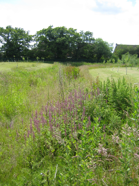
Planting was minimal, but extensive seeding of native grasses and wildflowers was employed.
Team:
Client: Leicestershire County Council, John Humphries
Landscape Architect: David Singleton, m+w, Leicester.
Engineer: Buro Happold, Leeds. Dave Leversha.
Architect: Leicestershire County Council, Clive Hillcoat, Nigel King.
Contractor: Willmott Dixon, Nottingham.
The project acheived the following benefits:
Support from Leicestershire County Council Planning.